
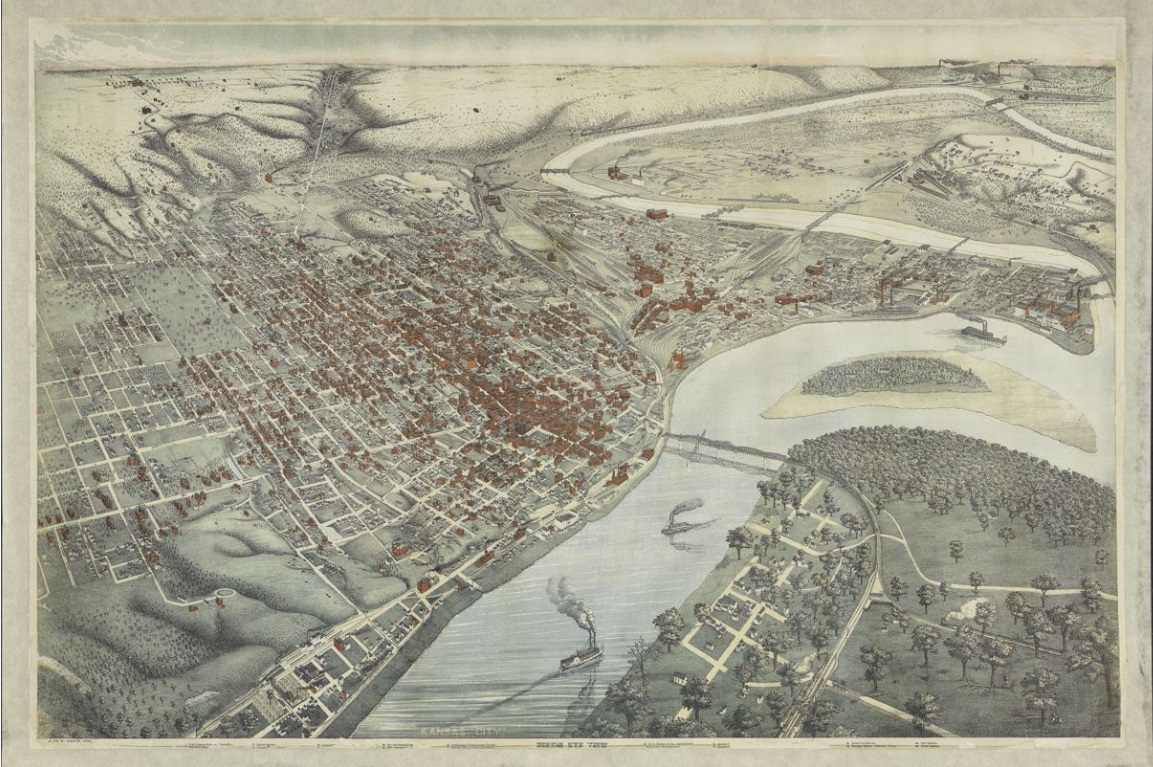
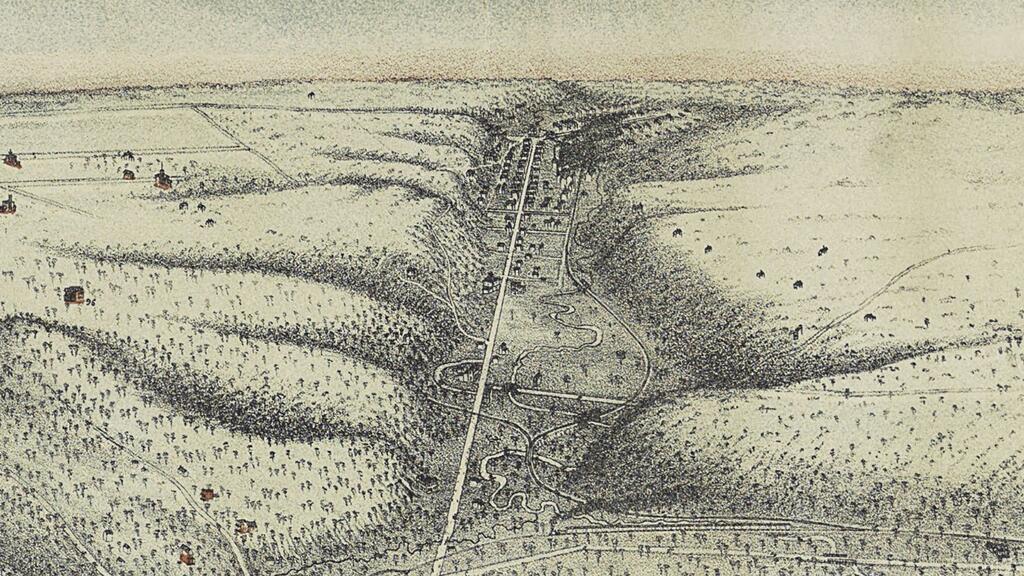
The latest map to be added to Missouri Valley Special Collections is one of the department’s most visually striking. This “Bird’s Eye View” or panoramic map, depicts Kansas City from an angled aerial perspective. Today this could be accomplished using satellites, computers, and sophisticated photography. But this map was printed in the mid-1880s. So, how’d they do it?
Artists and lithographers combined drawing and forced perspective to create bird’s-eye view maps. Sketches of street views and individual buildings were skewed as though looking at them from a fixed point far above and away. The resulting image was meant to show both progress and potential.


An aerial perspective allowed viewers to see the sprawl and scale of a city. The three-dimensional aspect of the map highlighted multi-storied buildings, parks, churches, smokestacks, mills, bridges, and contours of land and waterways – all key elements for the commercial, industrial, agricultural, and cultural viability of a community. In turn, bird’s-eye view maps became a popular tool of late 19th century civic boosterism. City leaders displayed their maps as way of asking, “Wouldn’t you like to live here?”
This particular image of Kansas City was drawn by Augustus Koch around 1885. According to an article in a 2010 issue of Missouri Historical Review, Koch was a Prussian immigrant and American Civil War veteran who began his mapmaking career in Chicago at the end of the 1860s. He moved to Kansas City with his family around 1880 and stayed until 1895. It’s estimated he drew more than 60 bird’s-eye view maps of cities around the country, most of them during his time in Kansas City. Augustus Koch died in 1899 at age 59.
Koch included more than just Kansas City, Missouri, proper in this map. Just north of the crowded buildings of what is now downtown is the community of Harlem (bottom right). To the south, almost at the horizon, is Westport (top left). Moving west from Westport and across the border into Kansas, are the small towns of Rosedale, Argentine, Armourdale, Armstrong, Riverview, Kansas City, and Wyandotte. Even in the mid-1880s, the metro area was an interconnected series of towns, neighborhoods, businesses, roads, and rails.
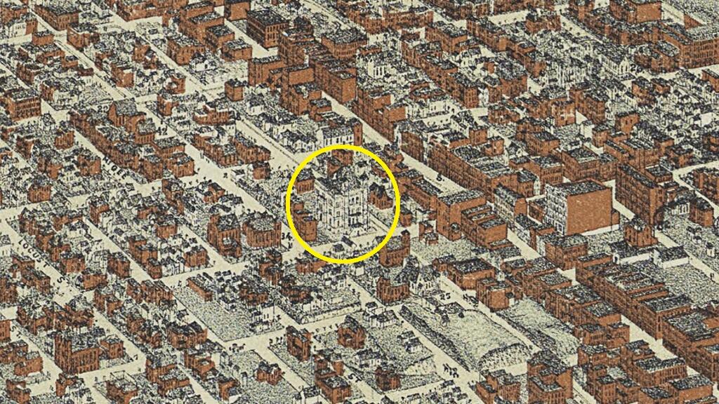
The map was originally printed with a legend along the bottom listing over 100 landmarks. Numbers next to the businesses, schools, churches, and other landmarks correspond with numbers printed on specifics buildings on the map. Unfortunately, most of the legend is missing and many of the numbers on the map itself are difficult to read, so we can only get a small glimpse of the kind of buildings Koch and the printers considered noteworthy. Among them are what was then the new U.S. Custom House and Post Office at 9th and Walnut, the Old Court House next to the old City Market at 4th and Main, and Lincoln School at 11th and Campbell.
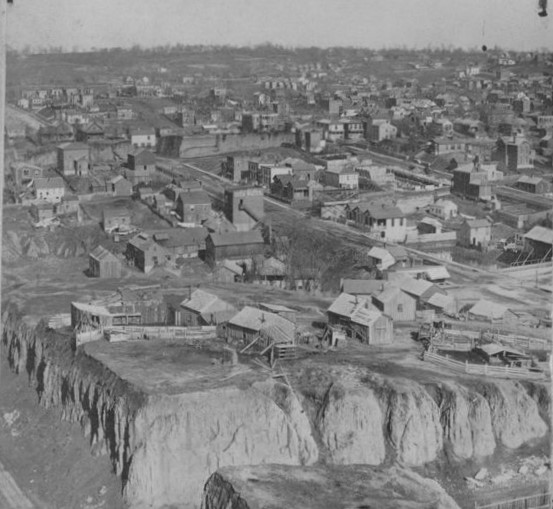
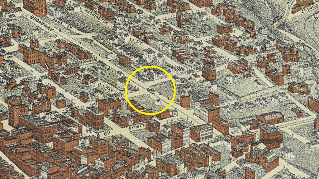
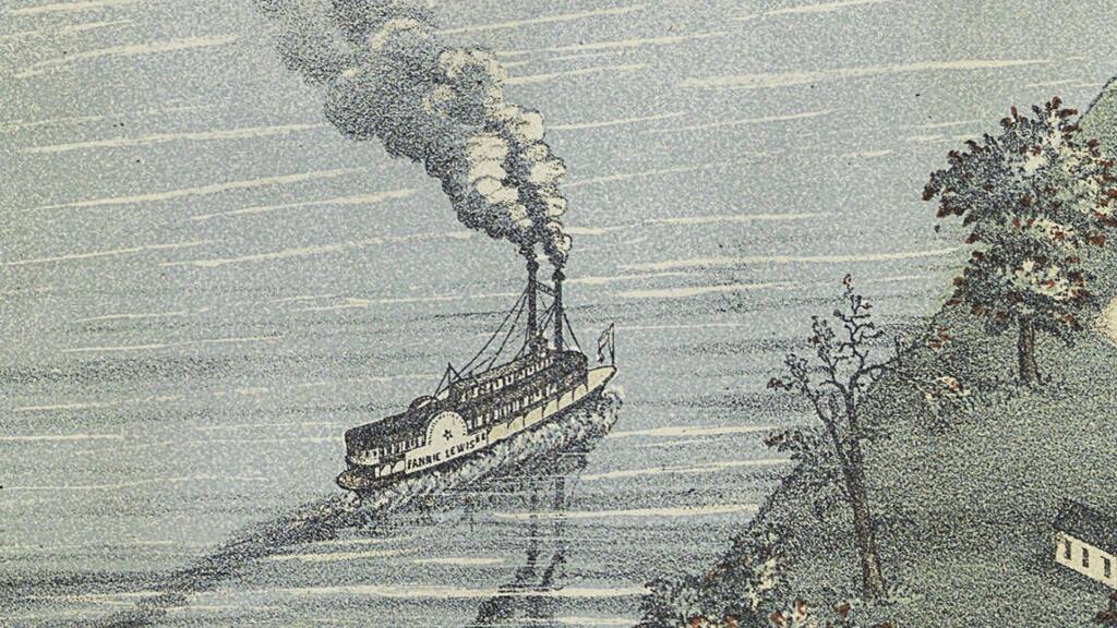
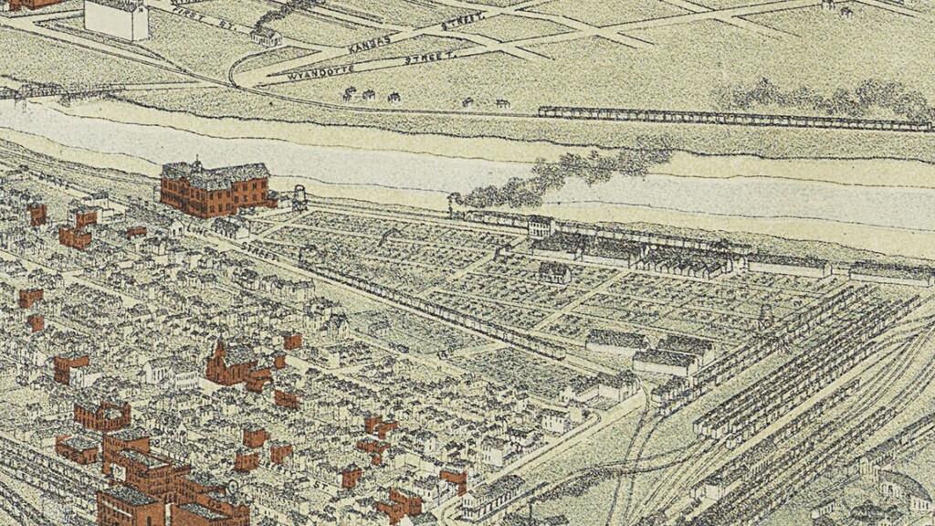
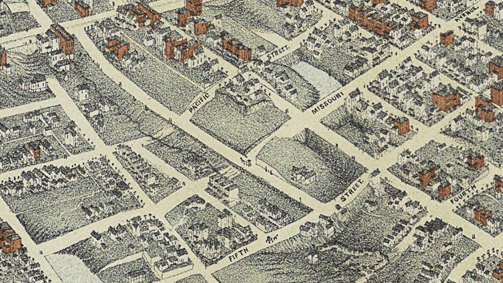
Perhaps the best parts of the map are the details Koch added to illustrate a busy and varied city. If you look closely at the corner of 7th and Broadway, a horse-drawn streetcar is visible. Elsewhere, men chop down trees north of Harlem, a steamboat named the Fannie Lewis puffs along the Missouri River, train cars crowd the tracks in the West Bottoms near the Stockyards, and you can still see where new streets plow through the remains of the river bluffs.

Purchase, restoration, and digitization of this map was made possible through the generosity of the William T. Kemper Foundation. It can be viewed online here.